8 day UK snow forecast: maps show 25 cities to be hit
Introduction
Accurate winter forecasts are vital for public safety, transport planning and local services. The 8 day UK snow forecast for 10–17 March has drawn attention after weather charts indicated widespread snowfall across Britain, highlighting the need for residents and authorities to prepare. The expected pattern is especially relevant for northern regions where the heaviest accumulations are predicted.
Main details of the 8 day UK snow forecast
Timing and geography
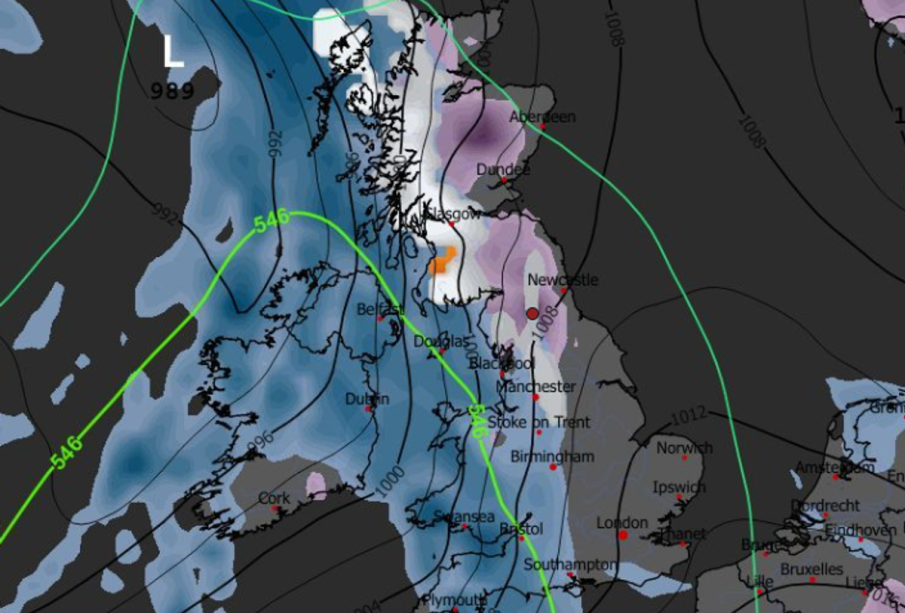
Weather maps from WXCharts show snowfall arriving at 06:00 on Tuesday 10 March and continuing in spells through to Tuesday 17 March. The maps identify 25 towns and cities across Britain that will see some snow during that period, with named urban centres including Glasgow, Newcastle and Edinburgh among those affected.
Accumulations and regional differences
The forecast varies by area. Scotland is expected to face the most significant totals, with some western parts shown receiving up to 29cm of snow. Central Scotland is indicated to receive around 11cm, while Glasgow and Edinburgh are each shown to see roughly 5cm. Western Scottish areas are also highlighted with forecasts of up to 26cm in some charts.
Elsewhere, the Lake District could see accumulations of up to 7cm. Northern Ireland is forecast to receive lighter snowfall in the first pulse, with between 1cm and 2cm landing at 06:00 on 10 March. Flurries are also expected across parts of North Wales, North West England, northern England and throughout much of Scotland.
Official outlook
In its long-range outlook covering 8–17 March, the Met Office described conditions as “unsettled”, particularly affecting the north west of the UK. Maps from media sources show another notable spell of snowfall forecast for Tuesday 17 March, indicating two main windows of wintry weather within the eight-day period.
Conclusion
The 8 day UK snow forecast points to two main snowfall episodes on 10 and 17 March, with the heaviest accumulations focused on Scottish regions where totals could approach 29cm. Local impacts on travel, services and outdoor activities are possible, particularly in northern and western areas. Forecasts can change, so residents and businesses should monitor updates from the Met Office and local authorities as the dates approach to make appropriate preparations.